|
|
|
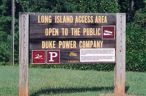
Long Island Access Area
| Location |
Long Island Rd. | Sherrills Ford, NC |
| GPS |
N 35 40.814 | W 080 59.004 |
| Ramps / Docks |
2 / 1 |
| Fees |
None |
| Parking |
1 medium lot |
| Other Amenities |
None |
| Map |
Click Here |
| Directions |
On I-77
take exit 36 onto NC 150 west across Lake Norman. Turn right onto
Sherrills Ford Road and follow for 10.0 miles. Then right onto SR 1833
(Long Island Road) and continue for 4.1 miles. The access area is on the
left. |
| Website |
None |
| Other Notes |
The farthest upriver public access area. On main channel. |
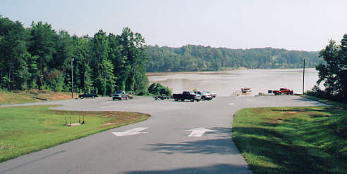
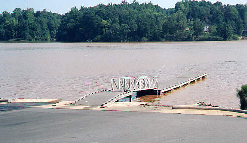
Photos were taken 9-11-04 after Hurricane Frances, Lake Norman was at full
pond + 6".
|
|